
Accepted Tutorials
Monitoring Land Use Land Cover Changes with Google Earth Engine
Brief
Ujaval got his Masters in Geospatial Information Engineering from the University of Wisconsin-Madison. After joining Google Inc. in California, he moved to India in 2006. He was one of the early employees at Google India and part of the team that launched Google Maps for India. He worked on multiple Geo teams at Google and led the GIS team in India. He was also the lead trainer for Google Earth Engine in India and trained over 1000 researchers, scientists, and engineers.
Career and Achievements
After 15 years of corporate experience, he left Google in 2020 to work on his startup – Spatial Thoughts – to create a learning platform to bridge the skill gap in the geospatial industry. His online academy has trained participants from over 100 countries. His learning materials on QGIS, Python, Earth Engine, and GDAL are cited as the top learning resources globally and are used by more than 1 million people every year. Ujaval is a world-renowned training facilitator who is passionate about advancing the use of open-source technologies in teaching and research. He is a QGIS.org certified trainer and one of the co-authors of the book Earth Engine Fundamentals and Applications published by Springer.
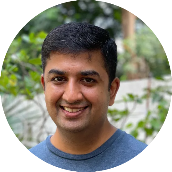
Ujaval Gandhi
Founder, Spatial Thoughts
SAR Polarimetry and Applications for Current and New Missions
Brief
Dr. Carlos Lopez-Martinez received the MSc degree in Electrical Engineering and the PhD degree from the Universitat Politècnica de Catalunya UPC, Barcelona, Spain, in 1999 and 2003, respectively, as well as the Postgraduate Diploma in Data Science and Big Data from the Universitat de Barcelona UB, Barcelona, Spain in 2021. Dr. Lopez-Martinez is Associate Professor in the area of remote sensing and microwave technology in the Universitat Politècnica de Catalunya, Barcelona, Spain. He has a large professional international experience at DLR (Germany), at the University of Rennes 1 (France), and as a group leader of the Remote Sensing and Natural Resources Modelling team in the Luxembourg Institute of Science and Technology (Luxembourg). His research interests include Synthetic Aperture Radar (SAR) theory, statistics and applications, multidimensional SAR, radar polarimetry, physical parameter inversion, advanced digital signal processing, estimation theory, and harmonic analysis.
Career and Achievements
Dr. López-Martínez has authored more than 200 articles in journals, books, and conference proceedings, and received the EUSAR 2002 Conference Student Prize Paper Award, co-authored the paper awarded with the EUSAR 2012 Conference First Place Student Paper Award, and received the IEEE-GRSS 2013 GOLD Early Career Award. Dr. López-Martínez has broad academic teaching experience from bachelor, master, and PhD levels to advanced technical tutorials presented at international conferences and space and research institutions worldwide. He is an associate editor of the IEEE-JSTARS journal and the MDPI Remote Sensing, acting also as invited guest editor for several special issues. He has collaborated in the Spanish PAZ and the ESA’s SAOCOM-CS missions, in the proposal of the Parsifal mission and he is member of the ESA’s Sentinel ROSE-L Mission Advisory Group. He was appointed vice-president of the IEEE-GRSS Spanish chapter, and in 2016 he became its secretary and treasurer. From 2011 Dr. López-Martínez collaborates with the IEEE-GRSS Globalization initiative in Latin America, contributing to the creation of the IEEE-GRSS Chilean chapter and the organization of the 2020 LAGIRSS conference, being appointed as Latin America liaison in 2019. He is also co-chair of the Tutorial Technical Committee of the Indian 2020 and 2021 InGARSS conferences.
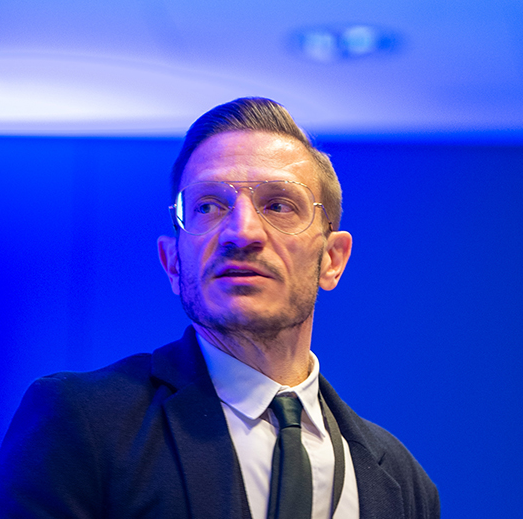
Dr. Carlos Lopez-Martinez
RSLab (Remote Sensing Laboratory), Signal Theory and Communication Department TSC, Universitat Politècnica de Catalunya Barcelona Tech UPC, Barcelona, Spain.
Standards for Geospatial Analysis Ready Data (ARD) Products
Brief
Sumit Sen is currently the CEO of the Geographic Information Sciences and Engineering (GISE) Hub, IIT Bombay. He completed his Masters at the City University, London, and has worked as a researcher with IIT Bombay, University of Muenstner, Keio University, Chubu University, and Ordnance Survey.
Career and Achievements
Dr. Sumit’s primary research domain has been spatial databases and analytics, specifically topics related to geospatial ontologies, data integration and spatial data infrastructures. He has played key roles in program and organizing committees of several workshops and conferences on spatial technologies, including MapIndia and Geospatial World Forum. He is a certified GIS Professional and has led multiple projects in geoinformatics over the last two decades, both in academics and the industry
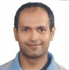
Dr. Sumit Sen
CEO of the Geographic Information Sciences and Engineering (GISE) Hub, IIT Bombay
When Deep Learning meets Earth Observation
Brief
Rakshith Sathish is currently part of the data science team at SatSure. His primary area of research includes self-supervised learning and foundation models for geospatial data. Prior to joining SatSure, he was a research scholar at IIT Kharagpur. His thesis focused on the design and search for energy and compute-efficient deep learning architectures
Career and Achievements
Rakshith’s research intresests include self-supervised learning, ML fairness and reproducibility, and designing compute-efficient DL models. Previously, he has delivered tutorials at the IEEE International Conference on Multimedia and Expo (ICME), Brisbane and has been actively involved as a tutor in various summer schools like Mathematics for DeepLearning and Hands-on AI organised by IIT Kharagpur. He has multiple publications at top IEEE conferences and journals. He advocates for open-source software and has contributed to projects like the Intel OpenVINO toolkit.
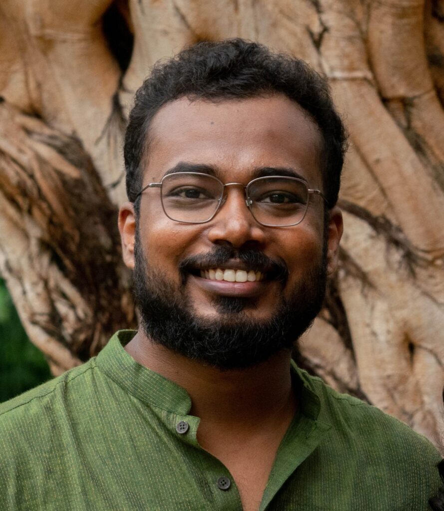
Rakshith Sathish
Data Scientist, SatSure Analytics India Pvt Ltd, Bangalore, Karnataka, India
Schedule
To know more about each of the tutorial session’s learning objectives, descriptions and prerequisites, visit the link:
Tutorial Session Chairs
- Dr. Shyam Lal, NITK Surathkal, Karnataka, India (shyam.mtec@gmail.com )
- Dr. Shilpa Suresh, MIT Manipal, Karnataka, India (shilpa.suresh@manipal.edu )