Plenary Keynote
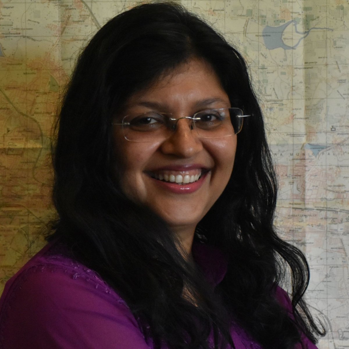
Dr Harini Nagendra, Azim Premji University

Dr Harini Nagendra
Director, Azim Premji University Research Center
The Sky is not the Limit – Enhancing Social-Ecological Resilience to the Anthropocene through GeoScience, Landscape Ecology and Remote Sensing
Satellite remote sensing has emerged as a powerful tool for global change research during the past decades. While a major focus of land cover change studies has been to understand the processes leading to deforestation, the social and institutional conditions that facilitate positive changes in land cover, sustainability and human wellbeing remain little explored. This presentation will discuss some experiences of mine over the past three decades in developing interdisciplinary approaches to integrate remote sensing, landscape ecology and geospatial analyses with field data on human-nature interactions, to understanding the anthropogenic processes driving patterns of land cover change in the tropics – i.e. to elucidate the pattern-process linkage. I illustrate this with examples from India, Nepal, Guatemala and Honduras, in forested and urban contexts. Overall, this multi-site research demonstrates the utility of using remote sensing in conjunction with field data to carefully locate drivers of land cover change in their local spatio-temporal context. The interdisciplinary approaches used illustrate how complex questions of social-ecological resilience in the Anthropocene can be addressed by combining approaches from the social sciences and the field with geoscience and remote sensing technologies – demonstrating that the sky is far from the limit.
Brief
Harini Nagendra is Director of the Azim Premji University Research Center, and leads the University’s Center for Climate Change and Sustainability. Over the past 30 years, Prof. Nagendra has been at the leading edge of research examining conservation in forests and cities of South Asia from the perspective of both landscape ecology and social justice. She engages with international science and policy through her involvement as a Steering Committee member of the Future Earth Programme for Ecosystem Change and Society, and the Future Earth Urban Knowledge Advisory Network. She is on the Advisory Board of the European Institute of Innovation and Technology’s Climate-KIC and the WRI Ross Centre for Sustainable Cities.
Career and Achievements
For her interdisciplinary research and practice, she has received a number of awards including the 2009 Cozzarelli Prize from the US National Academy of Sciences, the 2013 Elinor Ostrom Senior Scholar award, and the 2017 Clarivate Web of Science award. Her publications include the books “Nature in the City: Bengaluru in the Past, Present and Future”, “Cities and Canopies: Trees of Indian Cities”, and “Shades of Blue: Connecting the Drops in Indian Cities” – as well as over 150 research publications including recent papers in Nature, Nature Sustainability, and Science. She writes a monthly column ‘The Green Goblin’ in the Deccan Herald newspaper, and is a well known public speaker and writer on issues of urban sustainability in India. Professor Nagendra has been a Lead Author on the IPCC AR5 reports, and a past Science Committee member of DIVERSITAS and the Global Land Programme.
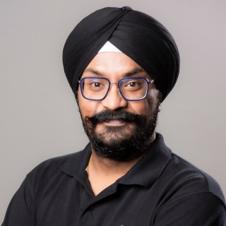
Rashmit Singh Sukhmani, CTO & Co-Founder, SatSure

Rashmit Singh Sukhmane
CTO and Co-Founder – SatSure
Evolution of AI/ ML role in Earth Observation Analytics
The realm of Earth Observation Analytics has undergone a profound transformation through the incorporation of Ar’ficial Intelligence (AI) and Machine Learning (ML) techniques. This progression has fundamentally reshaped our capacity to process, assess, and extract insights from the extensive datasets produced by Earth-observing satellites and sensors. This presentation will delve into the historical development of AI and ML within Earth Observation Analytics, emphasizing significant achievements and innovations that SatSure has accomplished to meet clients’ large-scale requirements. AI and ML have empowered automated feature extraction, anomaly detection, and predictive modelling, spanning applications from environmental monitoring to disaster management. Moreover, it will shed light on the challenges and opportunities arising from this evolution and offer a glimpse into the future potential of AI and ML in advancing Earth observation analytics.
Brief
Rashmit Singh Sukhmani is CTO and Co-Founder at SatSure,
showcasing his adeptness in researching, collecting, analysing, and effectively managing fundamental data on a large scale. He holds an MBA degree from Thompson Rivers University and boasts a diverse educational background encompassing both Business and Engineering disciplines, seamlessly blending technical and business expertise.
Career and Achievements
Rashmit’s career highlights a valuable two-year tenure at the Indian Institute of Remote Sensing (IIRS), specializing in Geographic Information Systems and Remote Sensing. His educational journey commences with engineering studies at the esteemed Indian Institute of Space Science and Technology (IIST), followed by business-focused education at two distinct universities, nurturing his multidisciplinary approach. Rashmit is recognized for his commitment to results-oriented collaboration, underpinned by well- honed communication, interpersonal, and decision-making skills, developed through his tenure with organizations singularly dedicated to achieving impactful outcomes spanning over two years.
Dr. Armando Marino, University of Stirling, UK

Dr. Armando Marino
Associate Professor at the University of Stirling, Faculty of Natural Sciences, Stirling, UK.
New trends in Polarimetric Synthetic Aperture Radar (PolSAR)
In the recent decades, several studies have proven that the polarisation state of the electromagnetic radiation provides valuable extra information to radar systems. In this talk, we will be looking at current trends in PolSAR and some of the data processing challenges that the international community will be facing in the next few years. We will be considering new optimisation methodologies and some attempts to rethink the way polarimetric information is processed. Results will be shown using quad-polarimetric systems including ALOS-2 and RADARSAT-2.
Brief
Armando Marino (M’2011) is a Senior Lecturer in Earth Observation, Biological, and Environmental Sciences at the University of Stirling, UK. His research interests include radar imagery for the monitoring of the environment, and maritime applications such as monitoring plastic pollutants, icebergs, sea ice, and other targets at sea that are of interest for environmental protection and hazard mitigation. He has worked on various projects such as the “Multimodal data analysis for monitoring invasive aquatic weeds in India” and “Delivering analysis-ready and value-added data to the South American supply chain and farmer advisory services” funded by the Royal Academy of Engineering and Environment Systems Ltd. respectively.
Career and Achievements
Dr. Armando received the M.Sc. degree in telecommunication engineering from the Universita’ di Napoli “Federico II,” Naples, Italy, in 2006. In 2006, he joined the High Frequency and Radar Systems Department, German Aerospace Centre, Oberpfaffenhofen, Germany, where he developed his M.Sc. thesis. He received a Ph.D. degree in polarimetric SAR interferometry from the School of Geosciences, University of Edinburgh, Edinburgh, U.K., in 2011. From March 2011 to October 2011, he was with the University of Alicante, Institute of Computing Research, Spain. From December 2011 to May 2015, he was a Postdoctoral Researcher and Lecturer with ETH Zurich, Institute of Environmental Engineering, Switzerland. From June 2015, he was a Lecturer with the School of Engineering and Innovation, Open University, Milton Keynes, U.K. Since May 2018 he is an Associate Professor at the University of Stirling, Faculty of Natural Sciences, Stirling, UK. Armando was awarded the “Outstanding Collaborator” achievement at the University of Stirling in 2022.
