Plenary Short Talks
Mr. Alexander Weidauer
CTO of the GALG Group

Ecology Mapping to Support Renewable Energies: Marine Bird & Mammal Mapping for Behavioral and Impact Assessment in Future Offshore Wind Parks
- Background: Explaining the need for this initiative
- Purpose-Built Camera System
- Technical Challenge: Balancing large data volumes with rapid processing and interpretation
- Technological Solutions in Hardware & Software
- Integrating AI to Automate Certain Processes, with a Future Outlook
- Broader Applications of Data Beyond Initial Purpose
Brief
In the dynamic field of environmental technology and remote sensing, Mr. Alexander Weidauer has distinguished himself as a professional of significant impact. His journey in science and technology began at Universität Greifswald, where he earned a Master of Science in Physics, specializing in System Theory. Currently, as the Chief Technical Officer of the prestigious GALG Group, Mr. Weidauer leads the design and supervision of effective methodologies for all projects undertaken by the group’s companies. His extensive experience in remote sensing and environmental science is a driving force behind ongoing innovation and excellence in the field.
Career and Achievements
With a career spanning over 33 years, Mr. Weidauer has achieved numerous milestones, especially notable in the development of innovative technologies for environmental monitoring. His tenure at IfGDV-IMA was marked by his critical role in the creation of aerial monitoring systems and the development of multi-spectral sensor technology for power line inspections. Additionally, his expertise in project management was prominently displayed during his time at the Institute for Applied Ecology. There, in projects like DAISI, he skillfully managed the design and implementation of sensor platforms and environmental data analysis tools. His contributions to developing comprehensive environmental databases and data assimilation models not only demonstrate his technical expertise but also reflect his dedication to environmental conservation.
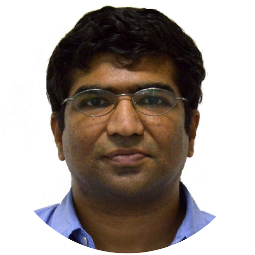
Dr. Srinath Srinivasa
Speaker for Mphasis Cognitive Computing Center of Excellence

Karnataka Data Lake: Big Data Analytics for Policy Support
This talk provides an overview of the pilot implementation of the Karnataka Data Lake, which is a Big Data analytics platform that implements several policy intervention models towards UN SDG indicators. We address the problem of SDG localization by developing a theory of policy interventions around impact and stability, and simulate the same, in order to identify expected outcomes of given interventions. Prescriptive modelling is also addressed, where specific policy interventions at a district and taluk level are suggested based on a given SDG terget.
Brief
Dr. Srinath Srinivasa heads the Web Science lab and is the Dean (R&D) at IIIT Bangalore, India. Srinath holds a Ph.D (magna cum laude) from the Berlin Brandenburg Graduate School for Distributed Information Systems (GkVI) Germany, an M.S. (by Research) from IIT-Madras and B.E. in Computer Science and Engineering from The National Institute of Engineering (NIE) Mysore. He works in the area of Web Science — that models of the impact of the web on humanity. Technology for educational outreach and social empowerment has been a primary motivation driving his research.
Career and Achievements
Dr. Srinath has participated in several initiatives for technology enhanced education including the VTU Edusat program, The National Programme for Technology Enhanced Learning (NPTEL) and an educational outreach program in collaboration with Upgrad. He is a member of various technical and organizational committees for international conferences like International Conference on Weblogs and Social Media (ICWSM), ACM Hypertext, COMAD/CoDS, ODBASE, etc. He is also a life member of the Computer Society of India (CSI). As part of academic community outreach, Srinath has served on the Board of Studies of Goa University and as a member of the Academic Council of the National Institute of Engineering, Mysore. He has served as a technical reviewer for various journals like the VLDB journal, IEEE Transactions on Knowledge and Data Engineering, and IEEE Transactions on Cloud Computing. He is also the recipient of various national and international grants for his research activities.
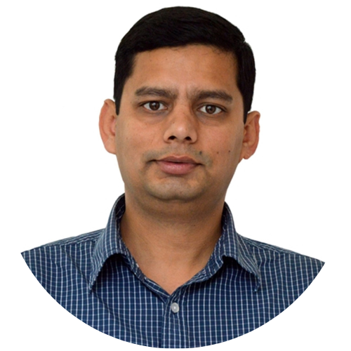
Dr. Uttam Kumar
Speaker for MINRO

Glimpses of Geospatial Research Initiatives at MINRO, IIIT Bangalore
The Machine Intelligence and Robotics Center (MINRO) at IIIT Bangalore is dedicated to the study of machine intelligence and robotics, and its applications in the Indian context. It is one of the best-in-class center with a broad charter to carry out high quality path breaking innovations in the multidisciplinary research and development activities in areas related to machine intelligence, artificial intelligent systems, data analysis, data science, pattern recognition, human-machine interface, industrial products of robotics, automation, manufacturing, transportation, communications, eLearning, finance, web services, etc. The Center has also started research in geospatial technologies for digital agriculture. It aims to address some of the current agricultural problems including crop health and growth monitoring, crop nutrient assessment, water stress, detection of crop disease(s), phenotyping of forest plantation, timely estimation of crop yield, valuation of damages due to natural disasters such as flood, drought and automated land use and land cover (LULC) mapping using multi-source spatiotemporal data. This talk will highlight few research initiatives in the above related domain.
Brief
Dr. Uttam Kumar is an Assistant Professor at IIIT Bangalore. He is a Senior Member IEEE and Senior Member ACM, and is the Former Infosys Foundation Career Development Chair Professor. Dr. Uttam holds a Bachelor’s Degree in Computer Science from Visvesvaraya Technological University Belgaum, Diploma in Advanced Computing from CDAC Pune, Master’s Degree in Geoinformation Science from University of Twente, The Netherlands and Ph.D. in Algorithms for Geospatial Data Analysis from Indian Institute of Science (IISc), Bangalore. He earned professional certifications in Data Science (Computational Data Analytics) and Machine Learning from Massachusetts Institute of Technology (MIT); in Big Data from Stanford University; in Spatial Computing from University of Minnesota; and in Geospatial Intelligence & Revolution from Pennsylvania State University, USA.
Career and Achievements
Dr. Uttam has received several awards including Indian National Geospatial Award 2021; Sahyadri Shikshaka Award 2020, CES, IISc Bangalore; The Institute of Engineers India (IEI) Young Engineers Award 2016; NASA Group Achievement Award by NASA, Washington, D.C.; Publons Peer Review Awards 2017; Certified Sentinel of Science Award 2016 in the Earth and Planetary Sciences; Best Paper Award 2015 in International Conference on Machine Learning and Data Analysis, UC Berkley; Best Paper Award 2015 in International Conference on Remote Sensing and Applications, Los Angeles; Best Paper Award 2014 by Boletín Geológico y Minero, Spain; Young GeoSpatial Scientist Award 2011, New Delhi; Best Paper Award 2011 by Indian Society of Remote Sensing, Bhopal; and Best Paper Award 2011 by IIT Kharagpur, India.
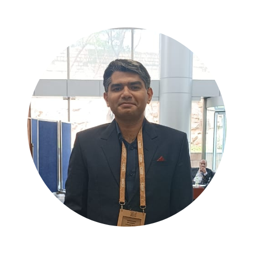
Shubham Sharma
Head of Data at GalaxEye Space.

Generative AI Enabled Data Fusion from Multi-Sensor Satellites
Brief
Mr. Shubham Sharma is serving as Head of Data at GalaxEye Space, Bengaluru, India. His experience consists of serving as Remote Sensing and Data Scientist at Geospoc-OLA and Hexagon Geosystems and he has worked on utilisation of Python for satellite image processing applications specifically in Radar Remote Sensing and served as a Research Fellow on related projects with renowned space organisations such as ISRO. He has also presented at leading Python conferences such as Pycon India and has mentored at conferences such as SciPy. Further, he has also served as Technical reviewer of books on Python and has taken workshops related to Python programming for Satellite image processing. He enjoys programming and strongly advocates outreach of Open-Source technologies in the Geospatial Sector.
