Space Missions Overview
Brief
Earth observation science is a field that leverages satellites to systematically collect information about the Earth’s surface, atmosphere, and various components of its environment. These observations profoundly impact numerous applications that significantly influence our daily lives. The main objective of Earth observation satellites is to acquire comprehensive data about Earth’s physical, chemical, and biological systems. Earth observation satellites offer a global perspective, allowing for the monitoring of various regions, including remote and inaccessible areas. Satellites provide regular and repeated observations, enabling the tracking of dynamic changes over time. They capture data in multiple spectral bands, ranging from visible to infrared and microwave, facilitating a comprehensive understanding of Earth’s surface. Modern satellites can capture high-resolution images, allowing for detailed analysis of specific areas and features on the Earth’s surface. Earth observation data is increasingly accessible to researchers, policymakers, and the general public, promoting transparency and collaboration.
This session will feature distinguished experts from ISRO, ESA, and DLR sharing insights on the latest developments in space missions undertaken by these three esteemed space agencies. The experts will delve into the significance of these missions and their wide-ranging applications across diverse fields.
TanDEM-X and Beyond: 4D Imaging of the Earth’s Surface
Brief
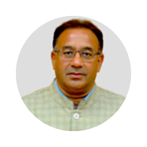
Prof. Alberto Moreira is Director of the Microwaves and Radar Institute at the German Aerospace Center (DLR) and a Professor with the Karlsruhe Institute of Technology (KIT), Germany, in the field of microwave remote sensing. He has been contributing to the advancement of Synthetic Aperture Radar (SAR) systems with innovative concepts, technologies and associated signal processing for more than 35 years. His Institute contributes to several scientific programs and projects for spaceborne SAR missions such as TerraSAR‐X, TanDEM‐X, SAR‐Lupe and SARah as well as Kompsat-6, PAZ, Sentinel‐1, BIOMASS, ROSE‐L, Harmony, Sentinel-1NG, Envision and VERITAS. Alberto Moreira is a leader, scientist and engineer in the field of microwave systems, techniques, and technologies, with particular emphasis on spaceborne SAR for Earth monitoring.
Career and Acheivements
The TanDEM‐X mission, led by his Institute, is the first bistatic spaceborne SAR system consisting of two satellites flying in close formation and has generated a global, high-resolution digital elevation model of the Earth with unprecedented accuracy. Prof. Moreira is the initiator and Principal Investigator (PI) of this mission. He has authored or co‐authored 500+ publications in international conferences and journals, 8 book chapters and holds 45+ patents. He is an IEEE Fellow and has served as President of the IEEE Geoscience and Remote Sensing Society in 2010. Prof. Moreira is the recipient of several international awards including the IEEE Kiyo Tomiyasu Technical Field Award (2007), the IEEE W.R.G. Baker Award from the IEEE Board of Directors (2012), and the IEEE GRSS Distinguished Achievement Award (2014) and most recently the IEEE Dennis J. Picard Medal for Radar Technologies and Applications (2023). His professional interests and research areas encompass end‐to‐end spaceborne radar system design, microwave techniques and system concepts, signal processing, and remote sensing applications.
Session Details
Venue: R103, IIIT-Bangalore
Time: Dec 11, 2023, 11:30-11:55 IST

Prof. Dr. Alberto Moreira
Director, Microwaves and Radar Institute at the German Aerospace Center (DLR) ; Professor, Karlsruhe Institute of Technology (KIT)
ISRO Earth Observation Missions and Applications
Brief
Dr Prakash Chauhan obtained his postgraduate degree in Applied Geophysics from the University of Roorkee (now Indian Institute of Technology (IIT), Roorkee) and Ph. D. in Physics from Gujarat University, Ahmedabad. Prior to joining the National Remote Sensing Centre (NRSC), Hyderabad, he was the Director at the Indian Institute of Remote Sensing (IIRS), Dehradun, from April 2018. He joined the Indian Space Research Organisation (ISRO) in 1991 at the Space Applications Centre, Ahmedabad, as a scientist, and since then working on the applications of Space Technology, including Remote Sensing technology for Geosciences, Atmospheric and Oceanic process studies, Natural resources management for ocean and land resources. He initiated research activities for planetary remote sensing at the Space Applications Centre to study solar system objects, mainly Earth’s Moon and Mars, through Indian planetary missions. He also served as Group Director at Space Applications Centre, Ahmedabad, for the Biological and Planetary Sciences Group from 2014 to 2018. His major achievements are in Earth Observation applications, including developing ocean colour parameter retrieval algorithms, marine living resource assessment, aerosol remote sensing for space-based air quality monitoring, river, and reservoir water level estimation using space-borne altimeters, and coastal zone management. More recently, he has been working on using satellite remote sensing data to understand the climate response of the Himalayan Cryosphere and Air Quality assessment from Space. He has done lead work in using the hyperspectral satellite data for Indian Planetary Missions such as Chandrayaan-2 and Chandrayaan-1 for lunar surface composition mapping. He had been the Principal Investigator for the Infrared Imaging spectrometer (IIRS) instrument on-board Chandrayaan-2 mission.
Career and Acheivements
Dr. Chauhan also led a team of scientists for scientific analysis of data from Mars Orbiter Mission (MOM) instruments. More recently, his work on Chandryaan-2 IIRS spectrometer data has resulted in the unambiguous detection of H2O and OH on the surface of the Moon. His findings have conclusively established the presence of water molecules at different locations on the Moon. As Director of the Indian Institute of Remote Sensing (IIRS), Dehradun, Dr Chauhan spearheaded activities for research and capacity building in the field of applications of Remote Sensing and Geoinformatics technology for societal applications in India. He actively provides guidance and support for international organizations like CSSTEAP-UN in conducting space technology courses for Earth System Science. As project director of ISRO-DMS (Advance Techniques &Capacity Building) coordinated international charter activities to provide remote sensing inputs for disaster management. As Director of the UN-affiliated Centre for Space Science and Technology Education in Asia and the Pacific (CSSTEAP), he has significantly contributed to capacity building for space applications in Asia and the Pacific region along with UNOOSA. New innovative digital learning platforms such as MOOCs and online courses have been introduced to continue CSSTEAP activities despite the COVID-19 pandemic. He is currently serving as Chair of the Working Group of Whole at STSC of UNCOPUS. He has also served as Chair for the CEOS working group on Capacity Building and Data Democracy (WGCapD) for the year 2018-19. He is an executive member of the International Ocean Colour Coordination Group (IOCCG) and represents ISRO. He has also represented ISRO at CEOS as Co-Chair for Ocean Colour Virtual Constellation (OCR-VC). He had also been a member of the prestigious NASA-ISRO Planetary Science working group. He was awarded the prestigious Prof. P.R. Pisharoty Memorial Award for 2004 by the Indian Society of Remote Sensing, Hari Om Ashram Prerit Dr.Vikram Sarabhai Research Award by Physical Research Laboratory (PRL), Ahmedabad for 2009, ISRO merit award by Indian Space Research Organisation in 2010 and Satish Dhawan award by ISRS, Dehradun for 2016. He was conferred the “2023 Asia-Pacific Region Excellence in Space Award” on 22 September 2023 during the Awards Ceremony of the 29th Session of Asia-Pacific Regional Space Agency Forum (APRSAF-29) organized in Jakarta, Indonesia. He has published more than 150 peer-reviewed papers in national and international journals, and he is currently a fellow of the National Academy of Science (NASI), Allahabad, the Indian Society of Remote Sensing, and the Indian Social Science Academy.
Session Details
Venue: R103, IIIT-Bangalore
Time: Dec 11, 2023, 12:00-12:25 IST

Dr Prakash Chauhan
Director, NRSC, ISRO.
ESA’s SAR Missions Status and Innovation
Brief
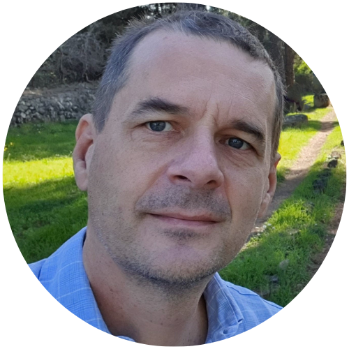
Dr. Klaus Scipal received the M.Sc. degree in geodesy and the Ph.D. degree in technical sciences from the Vienna University of Technology, Vienna, Austria, in 1999 and 2002, respectively.
Career and Acheivements
Dr. Klaus has been a Scientist with the Institute of Photogrammetry and Remote Sensing, Vienna University of Technology, and the European Centre for Medium-Range Weather Forecasts in the fields of earth observation and data assimilation with a focus on land surface processes. In 2009, he joined the Mission Science Division of the European Space Agency, as a Mission Scientist working on the development of future SAR satellite systems. In 2020, he became the Mission Manager for the SMOS and BIOMASS satellite missions.
Session Details
Venue: R103, IIIT-Bangalore
Time: Dec 11, 2023, 12:30-13:00 IST

Dr. Klaus Scipal
SMOS and BIOMASS Mission Manager – ESA/ESRIN
Community Events
Curious about the other community events happening at InGARSS 2023? Check the details here and mark your calendars!
